For a number of years, our team from the GI@School Lab at the Institute for Geoinformatics has been gathering experience through the organization of workshops with students and teachers. The collection of data with do-it-yourself sensor stations has provided an especially accessible way to work with geographic information and environmental data in this context. Moreover programming skills are taught in a very illustrative and tangible way. This experience led us to develop the senseBox:edu based on a combination of Arduino micro-controller, sensors, and accessories for teams to work in a classroom context. The senseBox:home simplifies this approach as a general Citizen Science Toolkit.
Citizen Science
The senseBox:home is a Citizen Science toolkit. With senseBox you can make measurements, helping to answer a variety of scientific questions and to support Citizen Science Projects from the local to global scale. Data collected by senseBox can increase the measured density of various enviromental factors and can contribute to more precise statements regarding climate, pollution or traffic.
Digital Education
The senseBox:edu is designed to be a tool for schools in a combination of subjects, whereas interdisciplinary projects in informatics/electronics/physics are build and programmed. The data collected then can be used to applicable research questions, in areas such as geography, biology or chemistry. For example, one application could be the analysis and interpolation of time-series data, which provides also interdisciplinary links to mathematics.
The senseBox:edu kit is suitable for one to three students. The box contains an Arduino Uno (or Genuino Uno) micro-controller, a variety of sensors, resistors, devices for circuits (among others: LEDs, cables and breadboard) and possibilities to save and transmit collected data. Multiple senseBox:edu (up to 11) can be packed in a single class box. The Arduino micro-controller is the heart of the collection and is used to control the connected components on digital or analogue inputs and outputs.
Open Science
The senseBox is developed exclusively following Open Science principles. The Setup of the senseBox components is open under the ERN Open Hardware License 1.2 The Source Code of senseBox:home is Open Source under LGPL 3.0 License. The Source Code of openSenseMap is Open Source under the MIT License. The data published on openSenseMap is Open Data under the Public Domain Dedication and License 1.0. The instructions, materials and didactic concepts are Open Educational Resources (OER) under the Creative Commons License CC BY SA 4.0.
Thomas Bartoschek
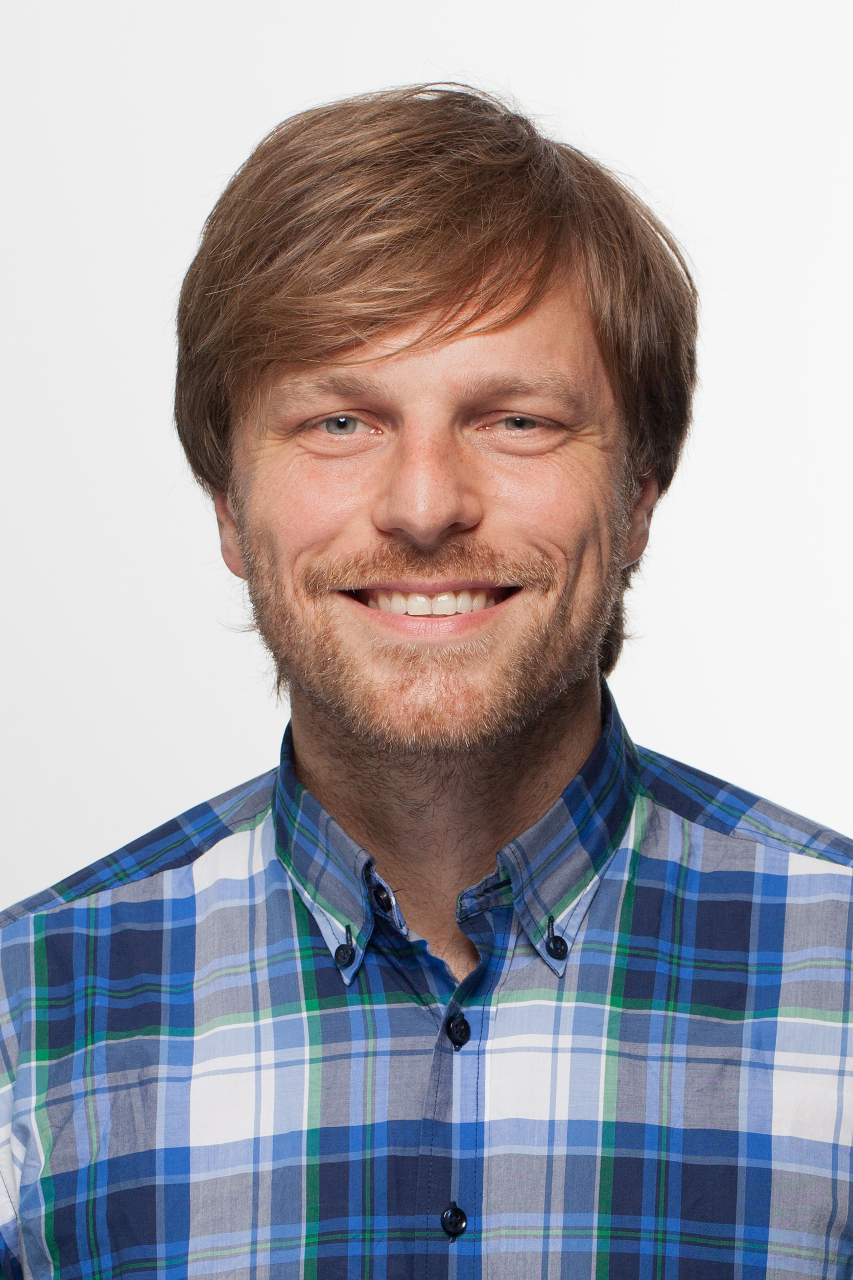
Thomas is a Postdoctoral Researcher at the Institute for Geoinformatics at the University of Muenster. He is founder and leader of the GI@School Lab and of senseBox. His research focus is on learning with geotechnologies, human computer interaction and citizen science. He develops products for education and communication of his science.
Angela Schwering
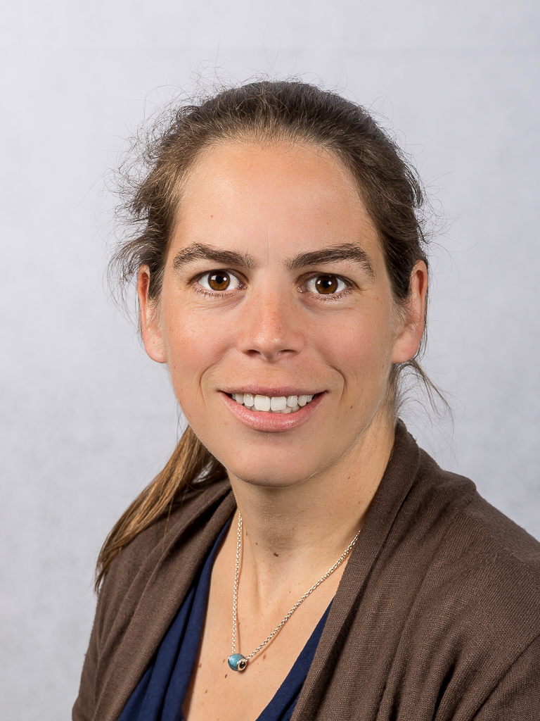
Angela ist a full professor at the Institute for Geoinformatics at the University of Muenster. In her research on spatial cognition she investigates how to support people in solving spatio-temporal problems through adequate information systems. She is also interested in how geotechnologies and sensors can be integrated into education, to foster the development of spatial competencies and their enthusiasm for information technologies.
Sergey Mukhametov
Sergey has developed the senseBox into the concept of a school class kit. He is also a specialist in cooperation with scientific and technical museums and helps to use senseBox inschool labs. He leads sensor workshops with school children, where he thrashes out the ideas for new senseBox projects. Apart from that, he supplies the project with his fantastic photographic skills.
Jan Wirwahn
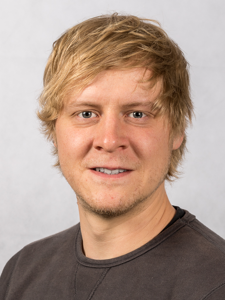
Jan was a student assistant at GI@School during his studies and is currently a research associate at senseBox. He is teaching and instructing students and teachers in the use of senseBox at the Institute for Geoinformatics and in secondary schools. His interests are in the hardware business, in particular Arduino microcontrollers and all kinds of sensors.
Björn Guntermann
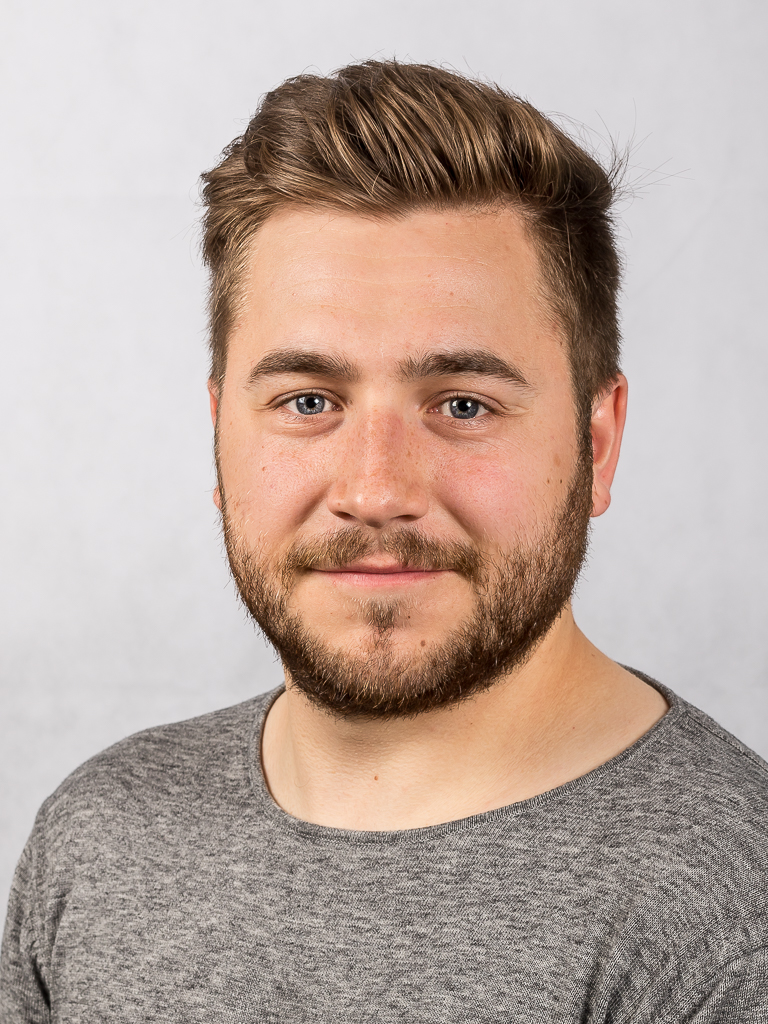
Björn ist Lehramtsstudent an der Universität Münster und arbeitet als studentische Hilfskraft bei GI@School. Er hat für seine Bachelorarbeit den Prototypen der senseBox:WaterQuality entwickelt. Björn unterstützt das senseBox Team hauptsächlich bei der Durchführung von Workshops und bei der Entwicklung neuer Unterrichtskonzepte.
Mario Pesch
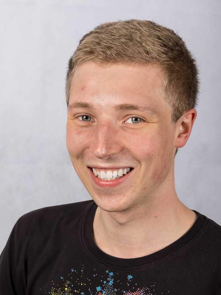
Mario studies chemistry and geography at the university of muenster and works as a student assistant at GI@School. In his bachelor thesis Mario developed a prototype for measuring air quality with the senseBox. Mario supports the team with workshops in schools and is looking for new use cases for the senseBox.
Matthias Pfeil
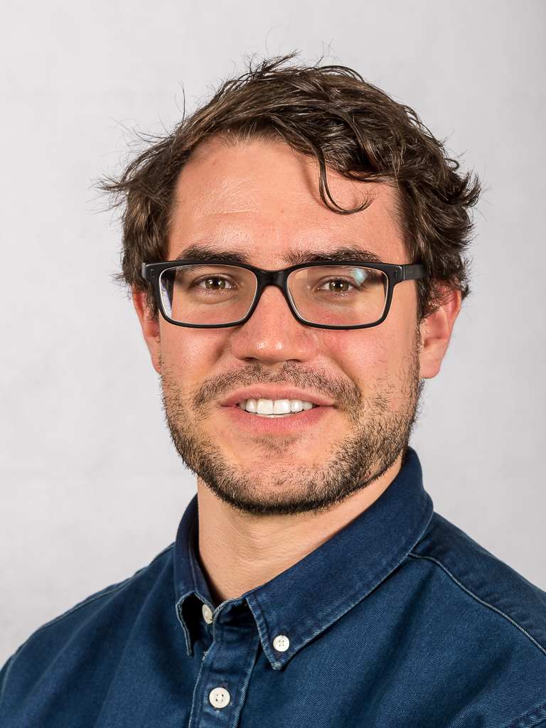
Matthias hat Bachelor of Science Geoinformatik an der Universität Münster studiert. Er ist zuständig für alle technischen Fragen bezüglich der eingesetzten Technologien und betreut die openSenseMap und API.
Gina Buchwald-Chassée
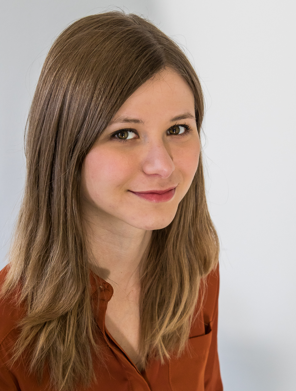
Gina is currently doing her masters in communication science at the WWU. She looks after our social media channels and writes blog posts for our web site.
David Fehrenbach
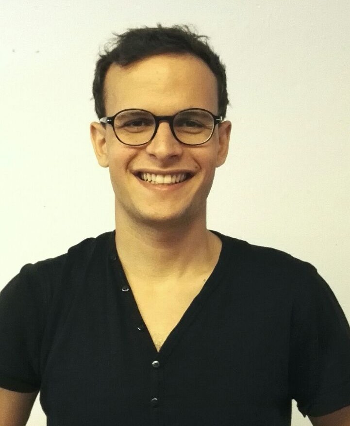
David is responsible for the sales of the senseBoxes. He studied Marketing and Information Systems at the University of Muenster.
Umut Tas
Umut rejoined the team after working as a freelance programmer for 5 years. He finished his Masters in Geoinformatics at the University of Muenster in 2013 and enjoys working on data visualizations and full-stack web development.
